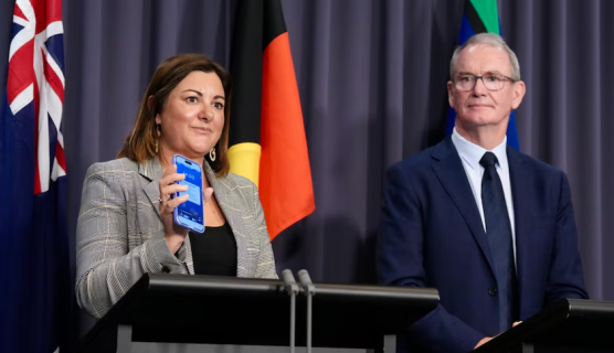
Joel Dry: Parts of Victoria, NSW and South Australia are set to swelter through the worst heatwave since the Black Summer bushfires. Meanwhile, residents in far North Queensland are preparing for a potential cyclone and we're joined now by Katarina Carroll from the National Emergency Management Agency in Canberra and senior meteorologist Sarah Scully from the Weather Bureau. Good morning to you both. Sarah, let's start with you. Temperatures are expected to hit 45 degrees in some regions. Which are the areas most at risk?
Sarah Scully: Yeah, look, low to mid-40s are forecast right across South Australia, as well as Victoria and inland parts of NSW today. So, that's severe to extreme heatwave conditions developing right across parts of southern Australia. That's expected to continue until the weekend, at which point it will start to move into southern and eastern parts of NSW.
Joel Dry: Katarina, if you find yourself in one of those areas feeling the heat, what is your advice to people?
Katarina Carroll: What's so exceptional, as Sarah touched on, is the intensity and duration of this event. So, you have to prepare for those four days. Stay hydrated, wherever you can keep cool as much as you can, and look after the vulnerable. That is incredibly important, the children, the elderly and listen to local emergency services. I think what the public doesn't realise in terms of heatwaves is that more people die from heatwaves in Australia than any other natural disaster. So, be well prepared for these next four days.
Joel Dry: Sarah, residents in far North Queensland are facing a vastly different scenario. Talk us through the conditions up there.
Sarah Scully: Yeah, look, the monsoon trough is still really active across northern parts of the country and northern Queensland has seen an enormous amount of rainfall over the last couple of weeks. There is a developing tropical low in the Coral Sea off the northeast tropical Queensland coast that has a moderate chance of developing into a tropical cyclone either on Friday or Saturday. But regardless of if it develops into a tropical cyclone or remains a tropical low, it's expected to bring a lot more rainfall to that north tropical Queensland area, which is already still very wet from the recent rainfall.
Joel Dry: Katarina, you're a Queenslander, you know the region very well. What do people in those areas do now to protect themselves?
Katarina Carroll: Joel, it is a terrible time of year up there. I've spoken to a lot of mayors, a lot of the community and Sarah touched on it. The area is saturated, so any rain, and there is a lot of rain coming with this event, will fall on an already a saturated environment. The rivers, the catchments, the roads, this will rise. The water will rise very, very quickly and it will catch people off guard. So, not only will it rise quicker, it'll actually go to higher levels. So, if there's one message, other than listening for the warnings and the emergency services, it’s this: please, if it's flooded, forget it.
Joel Dry: Yeah. Thank you. A difficult few days for millions of Australians. Thank you for your time.


